
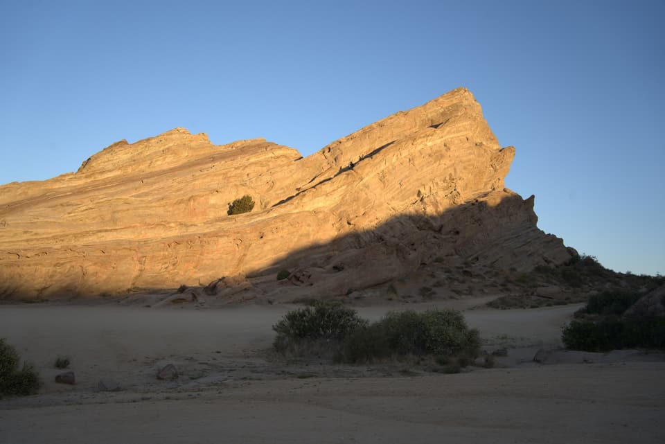
Vasquez Rocks on the PCT
Out of the Acton KOA in the dark, through the tunnel under Highway 14, and up on the slabs by sunrise.
By Jeffrey “Atlas” Combs · walked May 28, 2021 · published
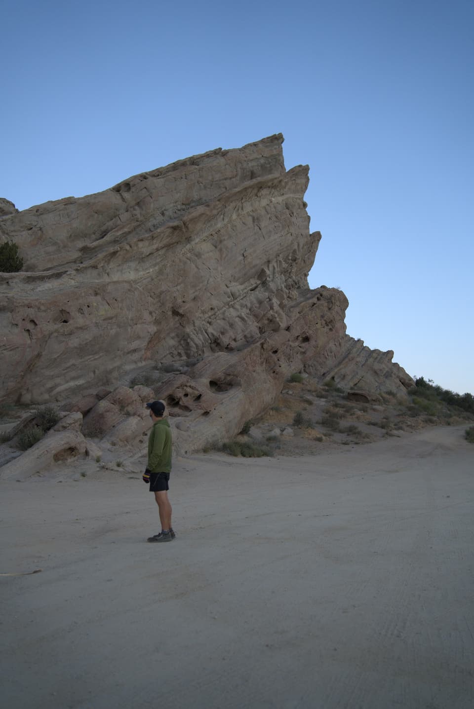
Vasquez Rocks Natural Area is a 932-acre LA County park in Agua Dulce, north of Los Angeles. The big sandstone slabs tilt out of the ground at a steep angle, and you’ve probably seen them on TV without knowing it. Star Trek, Blazing Saddles and The Flintstones all filmed here. The Pacific Crest Trail runs right through the park, between the Acton KOA and the town of Agua Dulce.
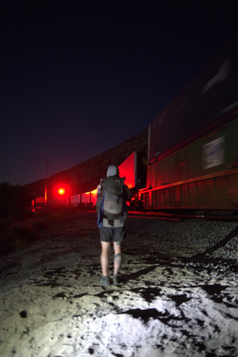
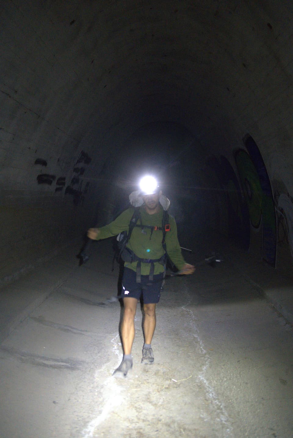
We left the Acton KOA in the dark so we’d be on the rocks by sunrise. Going by my photos it was around 3 AM, and a freight train rolled past while we walked by headlamp. Around 5 we went through the tunnel under Highway 14, which puts you right at the edge of the park.
My first photo of the slabs at first light is from 5:34 AM. That was day 29 of my 2021 thru-hike, and Strava logged 22.9 miles for the day.
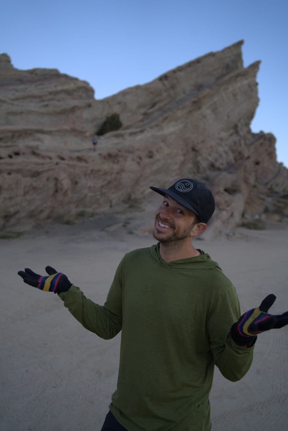
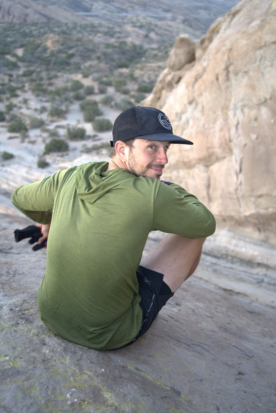
Agua Dulce had a small market. I think they had prepared food there, but I didn’t have any of it. It heats up really quickly out there, even early in the season, so we definitely had some Gatorade and maybe even a Coke. It was a welcome break with a little shade.
Going early is what I’d recommend, for the rocks and for the miles after them.
The park is at 10700 W. Escondido Canyon Rd, Agua Dulce. It’s open sunrise to sunset, and hiking is free. LA County lists the interpretive center as open Tuesday to Sunday, 8 AM to 4 PM, closed Mondays. Those hours change, so call (661) 268-0840 before you go.
There are three places to park: the visitor center lot off Escondido Canyon Road, a big dirt lot below the main rocks, and a smaller lot partway down the dirt road at the PCT trailhead. Dogs are allowed.
From the PCT trailhead on the dirt road, a 3.4-mile loop follows the PCT and comes back on the Foot Trail, with about 325 feet of climbing. To see the tunnel, stay on the PCT at the junction 1.4 miles in. It’s another 0.85 miles down a cottonwood canyon to the tunnel under Highway 14 at the park boundary, and the loop plus the tunnel comes to about 5.3 miles.
There’s no trail to the top of the big rocks. People scramble up them all the time, but that’s at your own risk.
Park details checked November 8, 2026 against the LA County Parks listing and the Hikespeak loop guide.
